Taringueros, viendo un post de un chico que subió una web para ver la Torre Eiffel en 3D se me ocurrio hacer este post con muchos lugares vistos en 3D, sacados de Google Maps, lo único que tenes que hacer es clickear el link y arrastar el tipo naranja a la calle o al lugar. Bueno ahora empecemos.
Torre Eiffel
http://maps.google.com/maps?ll=48.858414,2.2944981&z=19&t=h&hl=es
Coliseo Romano
http://maps.google.com/maps?ll=41.890482,12.49234&z=19&t=h&hl=es
Empire State Building
http://maps.google.com/maps?ll=40.749208,-73.985635&z=19&t=h&hl=es
Disneylad EE.UU
http://maps.google.com/maps?ll=33.81316,-117.91903&z=16&t=h&hl=es
Disneyland Paris
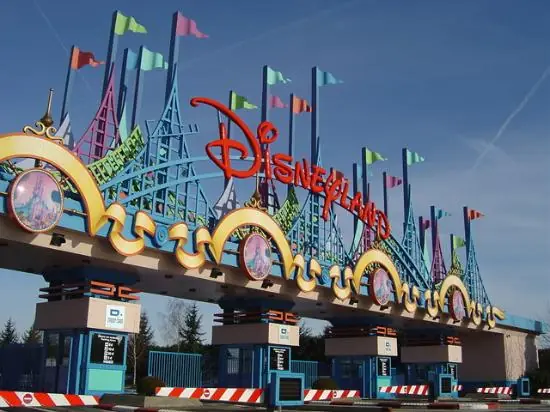
http://maps.google.com/maps?ll=48.874013,2.7768808&z=17&t=h&hl=es
Camp Nou
<http://maps.google.com/maps?ll=41.381116,2.1228261&z=19&t=h&hl=es>
Santiago Bernabeu
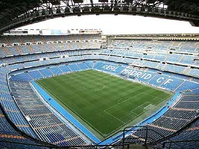
http://maps.google.com/maps?ll=40.453946,-3.6883623&z=16&t=h&hl=es
Big Beng
http://maps.google.com/maps?ll=51.501705,-0.12481074&z=19&t=h&hl=es
Mansion Playboy
http://maps.google.com/maps?ll=34.077144,-118.42957&z=18&t=h&hl=es
Abbey Road
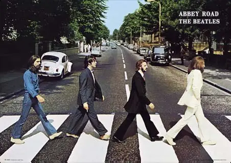
http://maps.google.com/maps?ll=51.532228,-0.17714175&z=19&t=h&hl=es
La verdad que tenia muchisimos mas lugares, pero no tienen la vista panoramica, para no arruinar el sentido del post no los puse.
Digan en que categoria iria.